P17 Gatineau Park Classic Meet Our Sunday Events
October 13th 2019 10:00am - 2:00pm
Map: Riviere La Pêche
Meet Director: Jeff Teutsch; Controller: Anne Teutsch
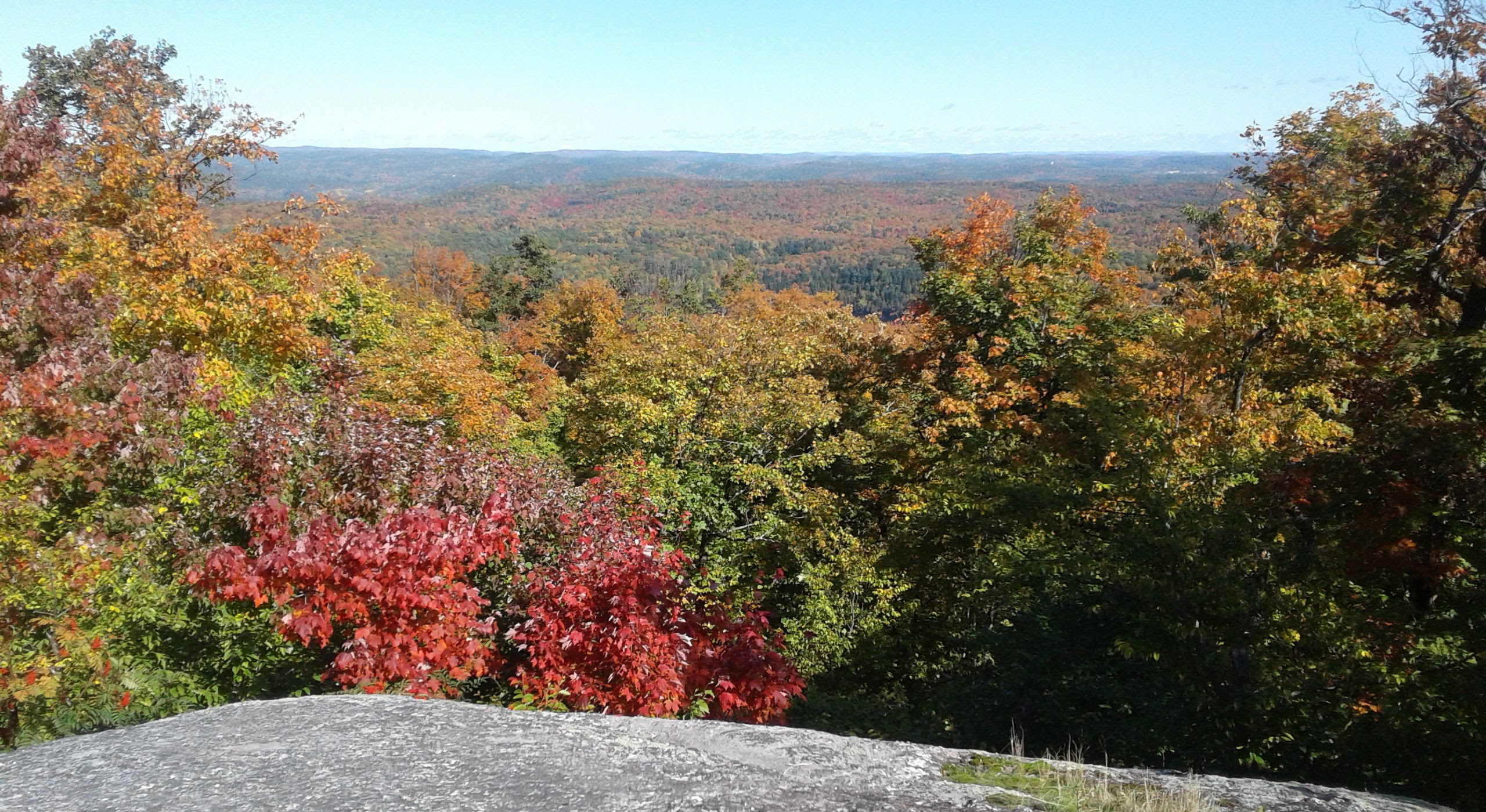
This Thanksgiving Sunday (October 13th) we are hosting our event at P17 in Gatineau Park near Wakefield. P17 is about a 30 minute drive from downtown Ottawa. With the weather forecast calling for cool but nice and the fall colours being at their at peak, it should be well worth the drive. You can find the location on the map below. If you have not been there before - note the 2 round-abouts on the map. Go 270 degrees around the first and 150 around the second. The lot is 100 metres along hwy 366.
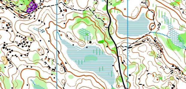
The map was freshly remade in 2018 and 2019 and the courses take full advantage of the new map which has lots of detail on it yet has been carefully drawn to keep it readable. You can judge based on the map sample below if we succeeded.
Here is the basic course information:
Novice: 3.1 km, 16 controls, 1:7500 scale
Intermediate: 3.5 km, 9 controls, 1:10 000 scale
Short Advanced: 4.1 km, 9 controls, 1:10 000 scale
Long Advanced: 6.2 km, 15 controls, 1:10 000 scale
Extra Long Advanced: 8.7 km, 20 controls, 1:10 000 scale
The start for the novice and intermediate courses is right at the parking lot. The advanced courses have a flat 500m walk to the start. All courses finish at the parking lot.
Both the novice and intermediate courses spend a fair bit of time along mountain bike trails so please pay attention when on them. Be courteous and safe; step aside to give bikers the right of way.
All advanced courses have a control with water to drink between 1/3rd and 2/3rds of the way through the course.
The advanced courses all have a mix of short (<200m) legs and long (>900m) legs so you will need to be prepared to look for some route choices and change gears when those shorter legs appear. The extra long advanced has an almost 1.4 km long leg where choosing the right route choice could save a lot of time.
The short advanced course has been designed to be technically challenge but less physically demanding than the long and extra long courses; it avoids the steepest hills and the worst of the rocky ground and fallen trees. The long and extra long courses have about 220m and 250m of climb (minimum) respectively. In addition the extra long advanced course will take you to a piece of terrain you have probably never explored before on the north end - some really interesting spur-reentrant terrain down to the La Peche river.
Like all of our Sunday events, registration is open from 10 to 11 am and you can start on any of the courses from 10:30 to 11:30. Remember that it is imperative (for safety reasons) that you are back and check in at the finish by 2 pm.
More information about our standard event structure is available here.