Ski Hill Park Our Sunday Events
September 26th 2021 10:00am - 2:00pm
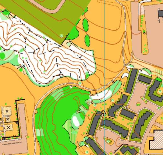
Map: Ski Hill Park
Meet Director: Andrew Cornett | Controller: Cathy Bakker
Registration
Registration for this event will open the morning of Thursday, September 23. It will close at 11:59 PM on Saturday, September 25 or earlier if we have reach the maximum participants allowed to keep within provincial COVID rules. Visit the OOC website and login as a member to register.
A reminder for teams: If you are going to be running with a friend or family member, please be sure to enter a team name (the exact same one) for each team (or group) member.
Meeting Location
We will meet at Colonel By Secondary School at 2381 Ogilvie Rd, Gloucester, ON. Parking is available at this location. View the location on Google Maps.
About the map
This new map is in Ottawa's East End, covering some interesting terrain surrounding Ski Hill Park and Colonel By Secondary School in Beacon Hill North. The map follows the latest ISSprOM (sprint) standard with a scale of 1:4000 and a contour interval of 2.5m. The map includes no less than 6 school yards, several parks and playgrounds, a low-rise condominium complex and a steep wooded hillside, all nestled within a suburban neighbourhood.
Courses
There will be 4 options for courses at this event:
- Course A will be a beginners/novice course: 2 km, 16 controls, flat terrain, no road crossings
- Course B will be an intermediate course: 3.9 km, 25 controls, flat terrain, also suitable for advanced orienteers.
- Course C will be a short advanced course: 3.6 km, 19 controls, hilly terrain
- Those looking to run the long advanced course can run course C and course B back-to-back. This combination of courses will explore different parts of the map and visit different controls on each course. With this option, you will complete course C first, proceed to the download tent to submit your first course's results, clear and check your SI chip, and then complete course B and proceed to the download tent a second time to submit your second course's results.
Help us be Green
Again at the meet we will be collecting reusable map bags for re-use once COVID is gone (next spring we hope!). If you have been keeping your bags and would like to bring them back, there will be a box at the meet for you to drop them into.