Vorlage Do Not Use
June 5th 2022 10:00am - 2:00pm
Map: Riviere La Pêche
Meet Director: Robbie Graham | Controller: Marketa Graham
This Sunday June 5, we are returning to Vorlage Ski Hill in Wakefield (45.6453651, -75.9343054), a map we haven't visited since O-Fest 2018 and Challenge the Gats 2019 and had to postpone following the storm of May 21.
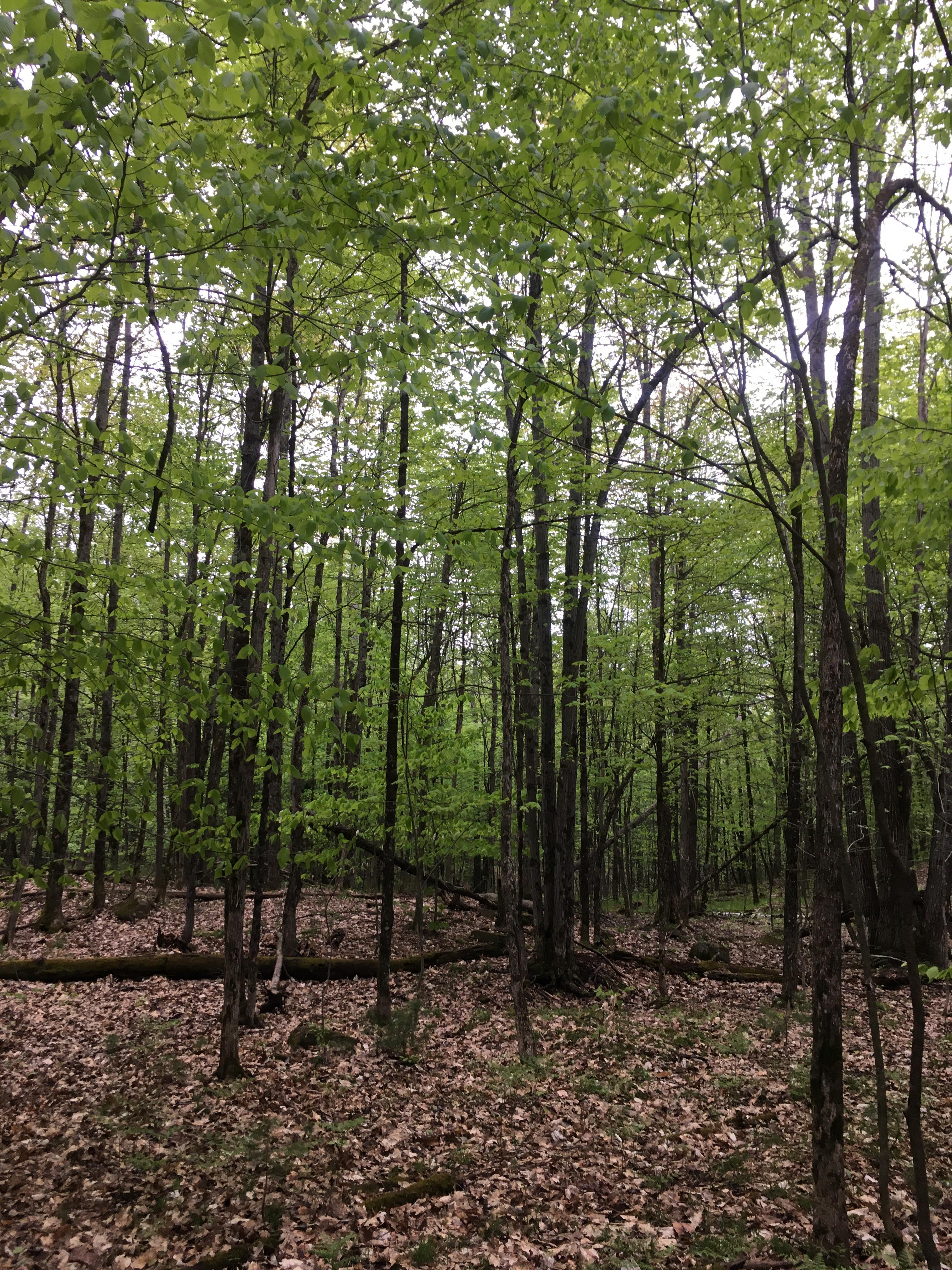
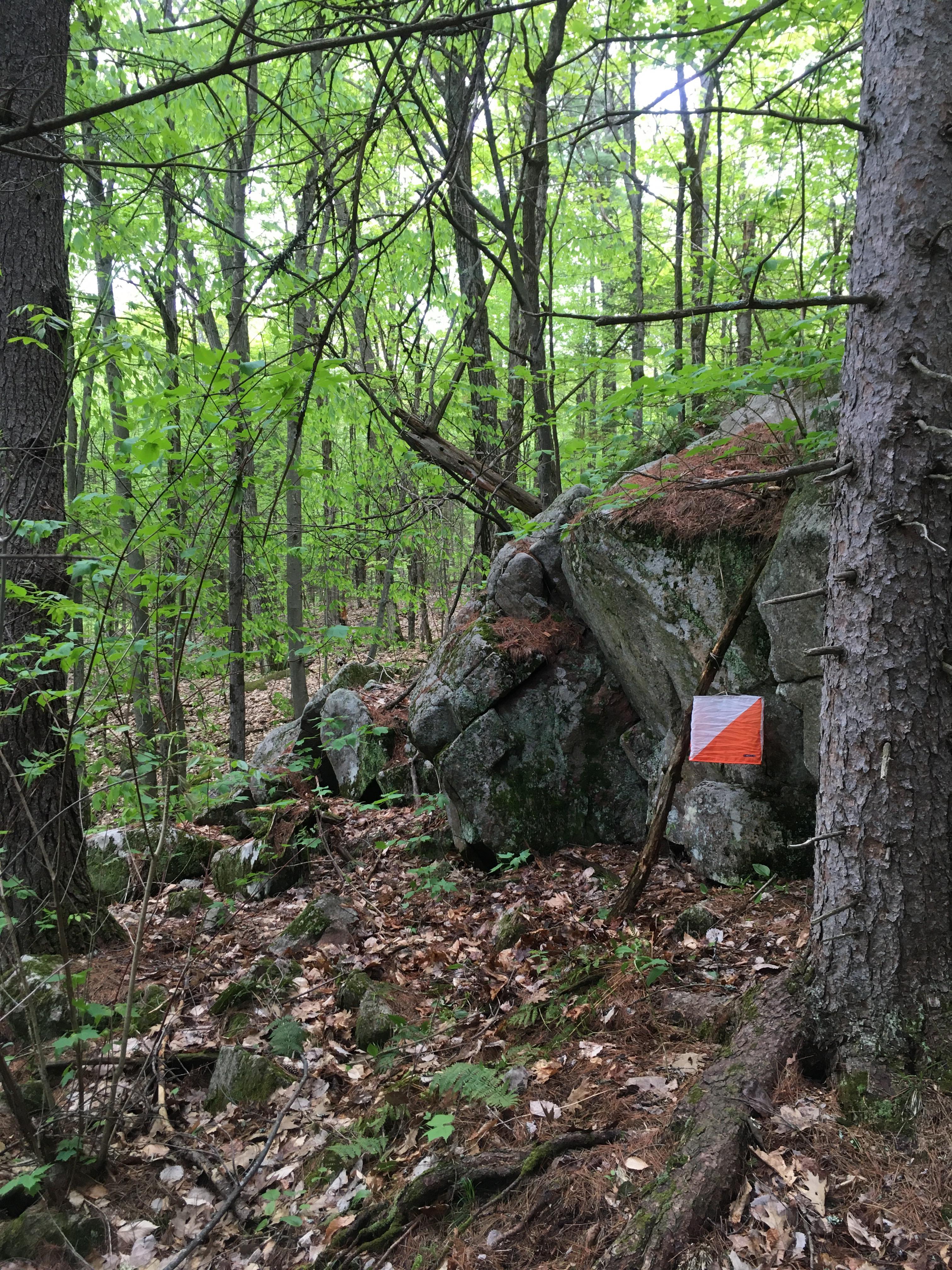
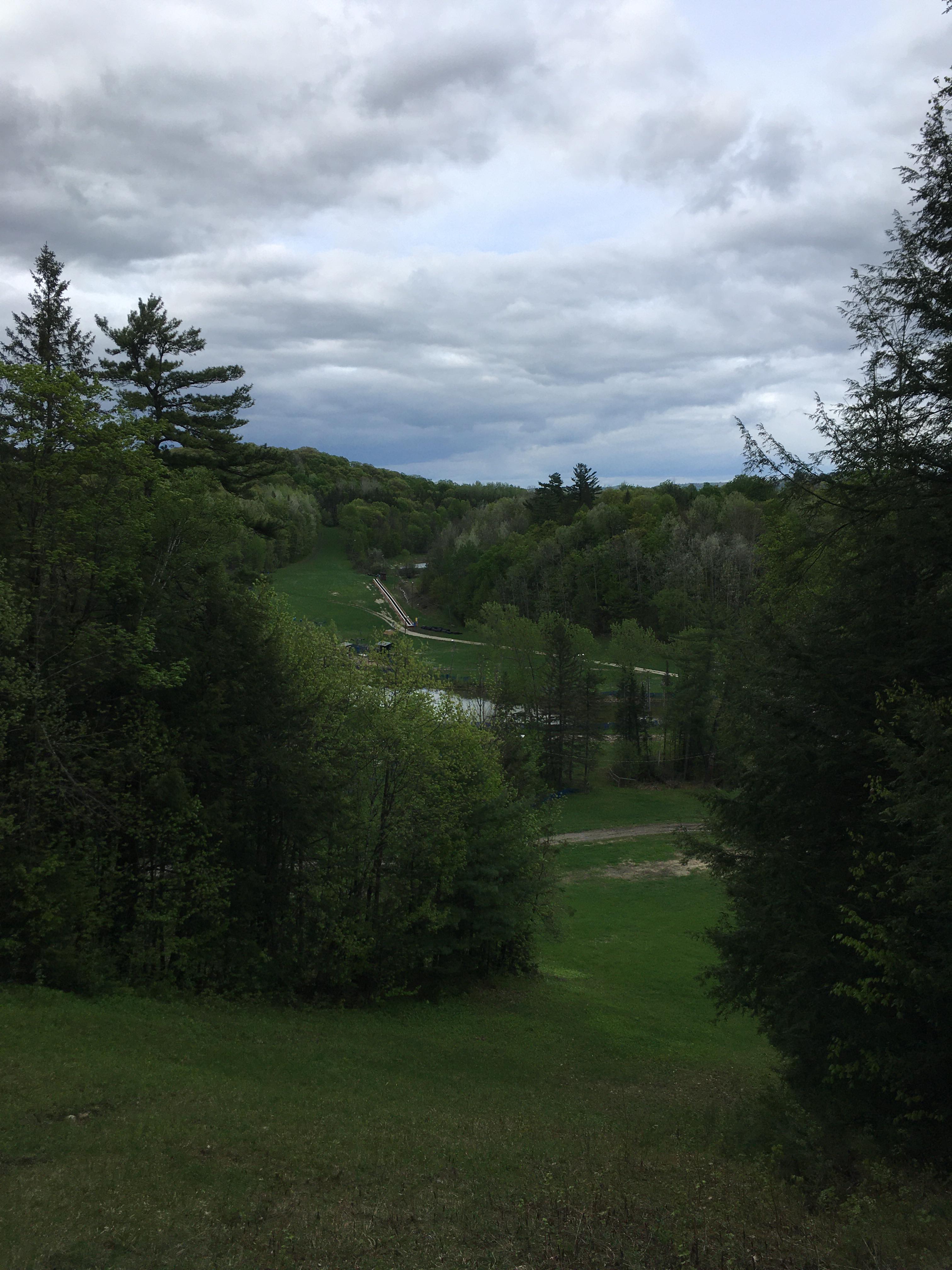
Vorlage has two main areas: The back of the hill has beautiful forest with detailed topography and rock features, while the front face is a maze of open ski trails that snake across the slope. Both offer opportunities for challenging navigation and route choice. The grass is still low and the forests are open making the visibility and runnability quite nice this time of year. Note there are some missing mountain bike trails on the south portion of the map. The chalet is available for us to use during the event; registration and download will be inside.
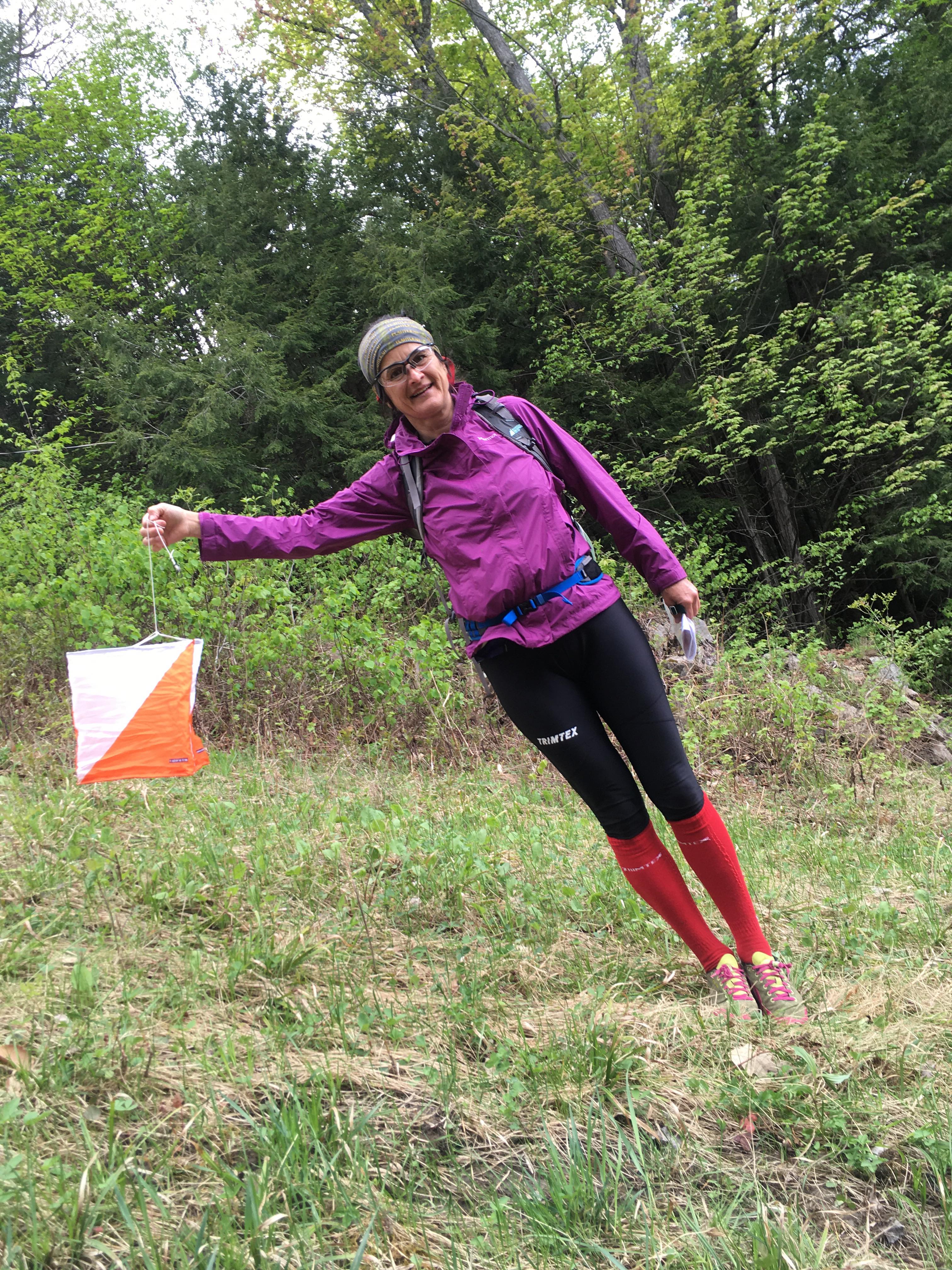
Course info:
- Novice - 1.4km, 35m climb, 8 controls
- Intermediate - 1.9km, 65m climb, 8 controls
- Short Advanced - 3.3km, 105m climb, 9 controls
- Long Advanced - 7.0 km, 245m climb, 16 controls
The scale for all courses will be 1:7,500. All courses have a walk to the start which is part way up the ski hill, 530m with 70m of climb. Some sections of the novice course will be marked by flagging tape. The long advanced will have a map flip about halfway through the course.
See you in the woods,
Robbie Graham, course setter | Marketa Graham, controller