March Highlands Do Not Use
May 11th 2025 10:00am - 2:00pm
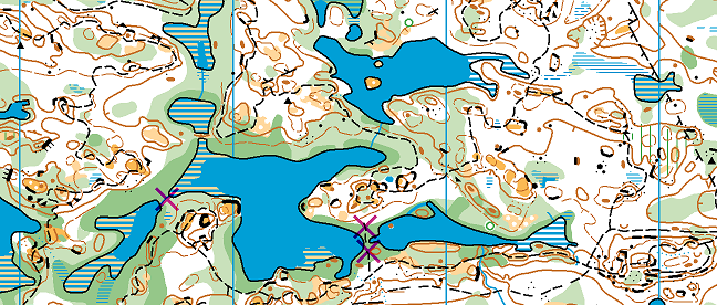
Map: March Highlands
Happy Mothers Day!
First things first: ticks. We can confirm they’re out—and hungry. Be sure to do a tick check in the shower when you get home and toss your clothes in the washer. Get educated on Lyme disease.
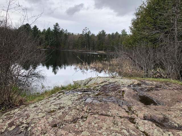
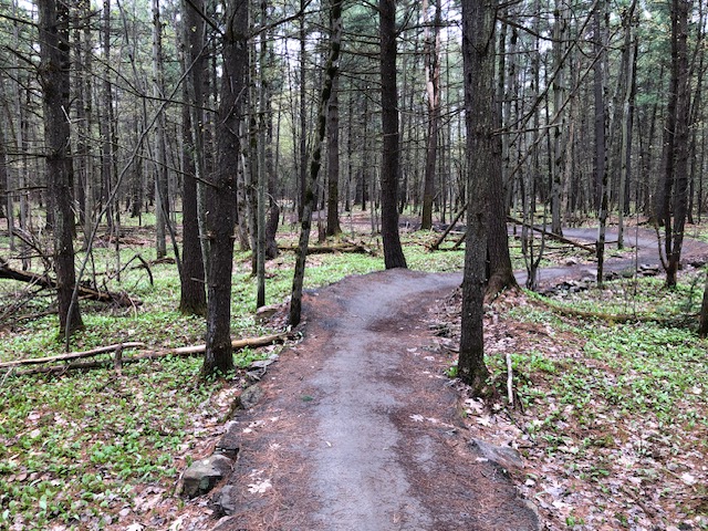
March Highlands is a favourite area for many of our club’s orienteers. It’s also popular with mountain bikers and will likely be busy on Sunday. Please be considerate and step off the trail to let bikes pass.
Meeting Point: We will be set up at the usual spot on the corner of Second Line Road and Klondike Road (Google map link). Park along Second Line Road or in the adjacent neighbourhood.
The Map: The March Highlands map is one of the most technical orienteering areas in the city meaning there are lots of details on the map. Don’t let this scare you from trying an advanced course – there are lots of trails to catch you if you end up wandering in the forest. Click here to learn about contours.
The forest and trails are rocky, and you're likely to get your feet wet on the advanced courses, so choose your footwear accordingly.
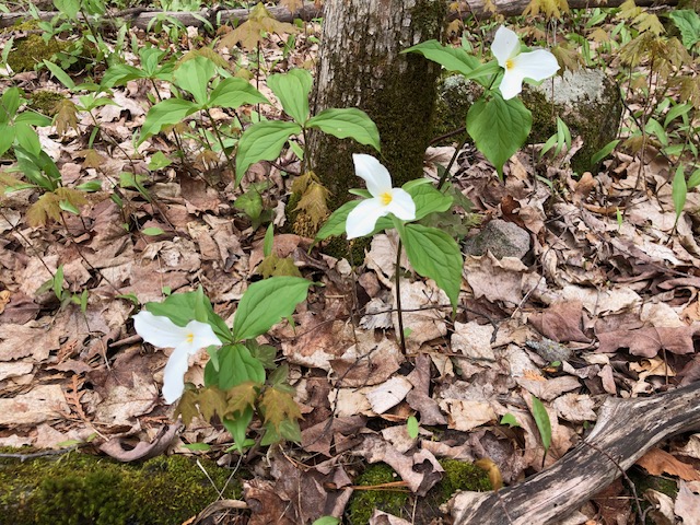
The map is generally very accurate if you keep in mind that marshes and vegetation can change from year to year. Boulders and cliffs don’t often move!
The western part of the map is scenic and scattered with beaver ponds. Usually only the Long Advanced course ventures out there, but this year, the Short Advanced course also includes this area. As a result, the first two controls involve a bit of trail running to get you to the fun part.
There are two crossings that you might consider taking that are flooded and they are marked on the map with a purple X. You should be able to make it through the other narrow crossings without having to swim.
Courses:
- Novice: 2.5km, 14 controls
- Intermediate: 3.1km, 12 controls
- Short Advanced: 4.6km, 10 controls
- Long Advanced: 6.9km, 16 controls
- Extra Long Advanced: 9.0km, 20 controls
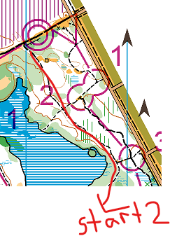 Start and Warm-Up Area: The start for the Intermediate and Advanced courses are all a short walk away from the registration desk. After registration, feel free to make your way directly to the start from the road or warm-up on any of the trails north of the start triangle. There are novice controls in this area, but that is it. The novice start is by the registration area.
Enjoy the race!