Fôret Limbour Forest Our Sunday Events
October 4th 2026 10:00am - 2:00pm
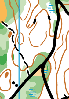
In celebration of the wonderful fall colours, you are cordially invited to participate in the second ever O-meet held on the new Fôret Limbour map this Sunday, Oct 4. The map was created in 2025 by expert mapper Jeff Teutsch at Navigation Sports, and features a dense trail network meandering through lovely forested terrain bordering suburban neighbourhoods in the Limbour sector of Gatineau.
Course Details
Four courses will be waiting for you to explore this Sunday:
Novice 2.3km 13 controls
Intermediate 3.5km 13 controls
Short Advanced 4.0km 14 controls
Long Advanced 7.0km 23 controls (with map flip)
Parking and Registration
On-site registration will be set up on the west side of Chem. Lebaudy, across from the Centre communautaire Limbour (community centre) at 288 Chem. Lebaudy, Gatineau, QC map. On-street parking is available nearby. Please avoid parking at the community centre to allow room for community centre visitors. Toilets are available in the community centre, but only for those not wearing spiked shoes!
Timing
- The SportIdent (SI) timing system will be used with contactless punching enabled
- On-site registration will be open from 10-11:15
- You may start your course between 10:15 and 11:30
- All courses will close at 2pm to allow control pick-up to begin. You must return to the timing tent (near the finish) and download your SI card by 2pm.
Map Notes
The contour interval is 5m and all courses will use a 1:7500 scale map. The northern section of the terrain is cut by steep-sided ravines lined with countless spurs and gullies, while the southern section features flatter terrain crossed by a major power-line corridor running east-west and several suburban neighbourhoods. Please respect all private property and areas mapped as out of bounds, indicated on the map by olive green and purple hatching respectively.
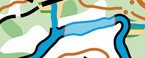
The forest features a mix of fast open (white) woods interspersed with slower areas with more undergrowth. There is no stony ground and very few rock features. There is a stream on the east side of the map that is shallow and crossable in some areas, and deeper and uncrossable in others. The uncrossable sections are mapped using a deeper blue colour with a solid black border and should be avoided.